Current Projects
Geology and Mineral Resources is currently working on a variety of projects related to geologic investigations throughout Virginia. In addition to researching mineral and energy resources, our geologists produce geologic maps to expand and improve our understanding of Virginia's complex and rich geologic history. Many of our projects are a collaborative effort between the professional science community and other state and federal agencies. Use the images below to browse each of our current projects.
Geologic Mapping
Geologic maps contain an explanation that describes the composition, texture, and age of the rocks and the locations of important features.
Read More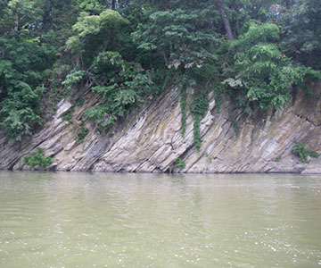
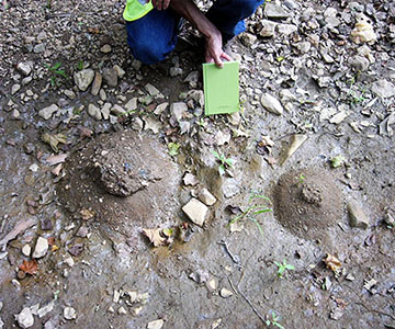
Landslide Hazard Mapping
Landslides in Virginia are usually triggered by heavy rainfall, rapid snow melt, or oversteepening of slopes by stream incision.
Read More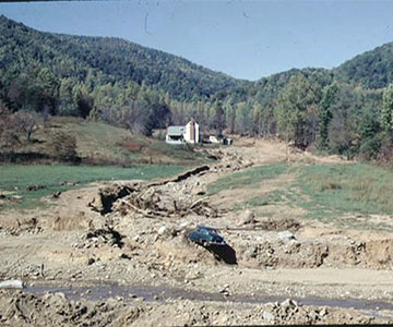
Carbon Sequestration
A technology with the potential to mitigate the amount of CO2 released to the atmosphere as fossil fuel emissions is known as Carbon Dioxide Capture and Storage (CCS).
Read More
Coal Resources
This project investigates Virginia's high quality coal which is well suited as a steam coal for electrical power generation in the United States.
Read More
Data Preservation
We have maintained valuable collections of geologic materials since the early 1900s.
Read More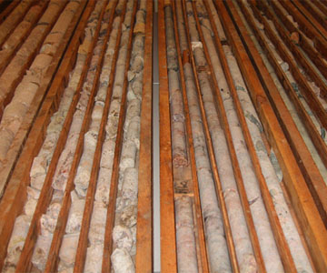
Earth MRI
This project provides a new opportunity to create maps that will stimulate domestic exploration for mineral resources that are critical to U.S. security and economic prosperity.
Read More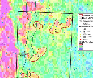
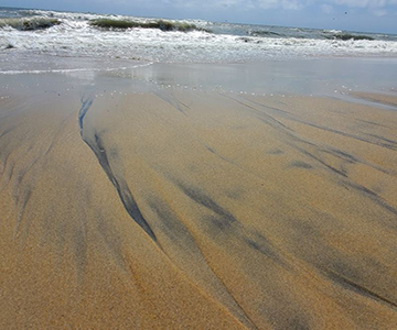
Aggregate Resource Mapping in the Coastal Plain
Virginia Energy is conducting aggregate resource mapping to advance resilience planning in coastal localities.
Read More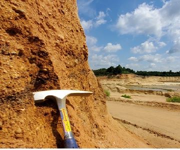
Past Projects
Geology and Mineral Resources conducts a variety of geologic investigations across the Commonwealth. Many of our past projects have resulted in publications that are available for free download or purchase. Click on the images below to learn more about these projects.
Civil War Minerals
This project investigates Virginia Minerals and their strategic relevance in the Civil War.
Read More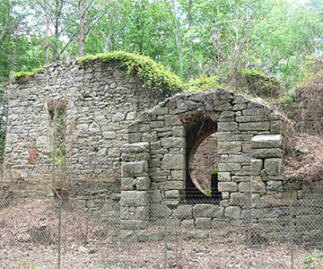
Offshore Oil and Gas
This project completed an analysis of Virginia's readiness for offshore oil and gas exploration and production.
Read More
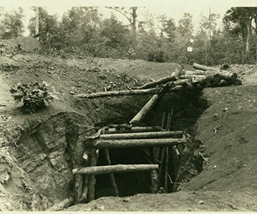
Coal Mine Mapping
This project aimed at improving the completeness and accuracy of existing collections of underground mine maps and georeferenced underground mine workings
Read More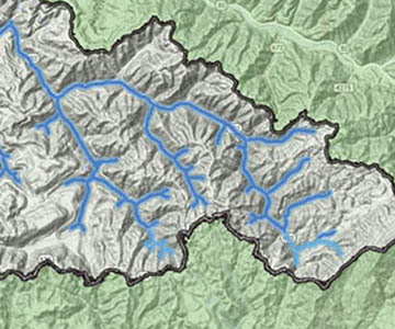
Devonian Shale Gas
This project evaluated the exploration potential for this gas play in Virginia.
Read More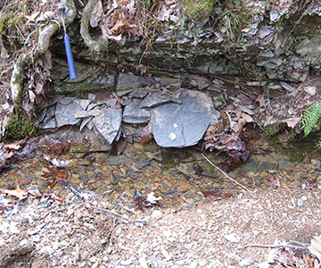
Coal Bed Stratigraphy
This is an on-going project that is intended to provide a stratigraphic framework for all energy-related studies in the Southwest Virginia Coalfield.
Read More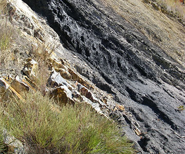
Coastal Plain Phosphate Deposits
This project aimed to increase our knowledge of the stratigraphic and geochemical characteristics of sedimentary strata in Virginia's Coastal Plain.
Read More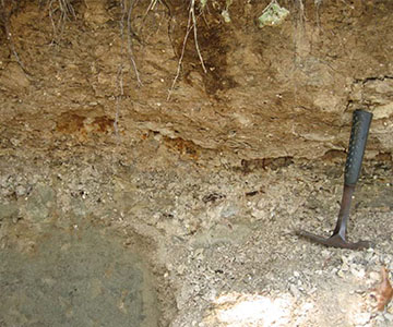
Mineral Resources of Virginia
This project oversees the inventory of mineral occurrences, prospects, mines, quarries, and other mining and processing sites of base and precious metals, industrial minerals, and energy resources.
Read More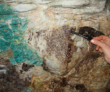
Geothermal Energy
This project developed a distributed network of databases for the acquisition, management, and maintenance of geothermal data.
Read More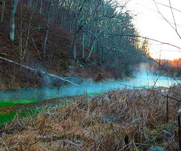
Coal Field Geology
This project implemented a Cumulative Hydrological Impact Assessment (CHIA) program for each new, renewed, or revised coal mining permit.
Read More