
|
In Stock
Your Price: $6.00
Model
Number: 1003

|
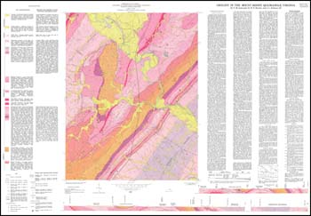
T.M. Gathright, II, W.S. Henika, J.L. Sullivan, III, folded 42.5 x 29-inch color 1:24,000-scale geologic map, 1978. Bedrock geologic map with alluvium and terrace deposits for Mount Sidney quadrangle (portions of Augusta and Rockingham counties) with two cross-sections. Explanation has unit characteristics and geologic or economic factors affecting land modification. Text describes stratigraphy and includes two diagrams illustrating the morphology and regional lithofacies of the carbonate units. Mineral resource section deals with crushed stone, slate, high-calcium limestone, and other carbonate resources. Locations plotted of abandoned quarries, samples in rock and fossil repositories and reference localities described in the discussion.
|
|