|


 In Stock In Stock
 Your Price: $6.00 Your Price: $6.00
 Model
Number: 1052 Model
Number: 1052
 

|
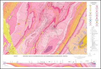
T.M. Gathright, II, P.S. Frischmann, 8.5 x 11-inch soft cover book, 21 pages, one plate includes 44 x 30-inch color 1:24,000-scale geologic map, 19 figures, 1986. Report on the geologic structure and stratigraphy of the Harrisonburg and Bridgewater quadrangles in Rockingham County (includes City of Harrisonburg). The Valley and Ridge rocks within the area are folded and faulted limestones, dolomites, shales, and sandstones of Paleozoic age. Major geologic structures include Massenutten synclinorium and Staunton and North Mountain thrust faults. Mineral resources include: carbonate rocks for road aggregate, agricultural lime, concrete aggregate, dimension stone, terrazzo, portland cement, flux stone, and pellet lime. Potential sources of lead and zinc minerals and structural clay products. Bedrock geologic map with surficial deposits and cross-section. Locations of inactive and active crushed stone and road aggregate quarries are plotted. Rock repository samples, reference and text photograph localities shown. Appendix of geologic factors affecting land modifications with some sinkholes and karst areas are delineated.
|
|