|


 In Stock In Stock
 Your Price: $6.00 Your Price: $6.00
 Model
Number: 1138 Model
Number: 1138
 

|
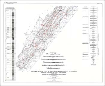
by R.C. Cady, 6 x 9-inch soft-cover book, 137 pages, 5 plates include folded 43 x 35.5-inch limited color 1:250,000-scale geologic map with spring and well locations and 29.5 x 14-inch black and white hydrograph, 2 figures, 22 tables, 1936. This report discusses the groundwater resources for Augusta, Page, Rockbridge, Rockingham, Shenandoah, and Warren counties in Virginia using field work collected in 1932 and 1933 from 450 wells and springs. The geologic map used as a basis for interpretation is from Virginia Geologic Survey Bulletin 42 (VDMR Bulletin 42) with cross-sections. Narrative includes relationship of ground water to geologic structures, formations and general rock types and methods used to recover ground water (drilled wells, dug wells, springs, infiltration galleries and ground-water dams). Each county has a discussion of the geology and ground-water conditions and municipalities dependent on ground-water. Tables include general well locations, date completed, depth to water, yield, drawdown, geologic horizon and type of material. Groundwater analyses were conducted on 40 samples with results broken out into individual counties.
|
|