|


 In Stock In Stock
 Your Price: $6.00 Your Price: $6.00
 Model
Number: 1015 Model
Number: 1015
 

|
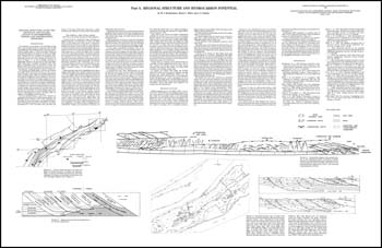
M.J. Bartholomew, A.P. Schultz, R.C. Milici, six folded 40 x 26-inch (approximate size) black and white sheets, 1980. Prepared as part of a field trip for the 1980 GSA. Part A. Regional structure and hydrocarbon potential by M.J. Bartholomew and others contains discussion of regional structures and potential for natural gas with diagrams and map of gas and oil fields with tables of significant gas and oil wells drilled including Early Grove field (two sheets). Part B. Deformation in the hanging wall of the Pulaski thrust sheet near Ironto, Montgomery County, Virginia by M.J. Bartholomew and A.P. Schultz, Jr. has road log with pictures, stereonets and structural interpretation with sketch cross-sections (two sheets). Part C. Saltville fault footwall structure at Stone Mountain, Hawkins County, Tennessee by R.C. Milici has description of stop with sketch diagrams of field stops (two sheets).
|
|