|


 In Stock In Stock
 Your Price: $6.00 Your Price: $6.00
 Model
Number: 1014 Model
Number: 1014
 

|
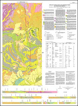
by V. Price, J.F. Conley, R.G. Piepul, G.R. Robinson and P.A. Thayer, geologic map with map text, scale 1:24,000, 1980. This map shows the bedrock geology and surficial deposits of the Axton and Northeast Eden 7.5-minute quadrangles and includes a discussion of the area’s stratigraphy, structure, and economic geology. These quadrangles are located in the Virginia Piedmont province and include portions of Henry and Pittsylvania counties. The southern half of the Northeast Eden quadrangle is in North Carolina and is not included on this map. The bedrock mapped in this area includes Precambrian to Paleozoic igneous and metamorphic rocks, as well as Triassic basin sedimentary rocks and Jurassic diabase dikes. Terrace deposits and alluvium are also mapped. Active quarries, prospects, and rock repository locations are plotted on the map. Cross-sections are included.
|
|