
|
Your Price: $0.00
Model
Number: 3096
|
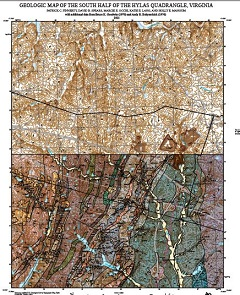
By P.C. Finnerty, D.B. Spears, M.E. Occhi, K.E. Lang, and H.E. Mangum, 37 x 43-inch color 1:24,000-scale geologic map, 2021. This map of the south half of the Hylas 7.5-minute quadrangle in Henrico and Goochland counties, Virginia shows the distribution of Mesozoic igneous and sedimentary rocks, Paleozoic igneous, sedimentary and metamorphic rocks and Cenozoic-age sedimentary units in map and cross-section. Surficial deposits of terrace gravels and alluvium are also shown. Online only.
This map has a newer version. Please see Model Number 3107 Open-file Report 2022-17.
|
|