|


 Your Price: $0.00 Your Price: $0.00
 Model
Number: 3024 Model
Number: 3024


|
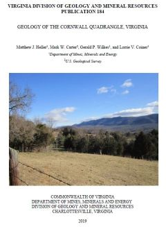
By M.J. Heller, M.W. Carter, G.P. Wilkes, and L.V. Coiner, 8.5 x 11 inch report, 17 pages and 15 figures, with 34 x 40 inch geologic map plate, 2018. This geologic report and accompanying map of the Cornwall 7.5-minute quadrangle in Rockbridge and Amherst counties, Virginia describe and show the distribution of Paleozoic-age sedimentary, Neoproterozoic-age metasedimentary and metaigneous, and Mesoproterozoic-age metamorphic rocks in map and cross-section. Surficial deposits including alluvium and colluvium are also described and shown. The report discusses the stratigraphy, metamorphism, structure, and economic geology of the map area, as well as geologic factors affecting land use. Online only.
|
|