|


 Your Price: $0.00 Your Price: $0.00
 Model
Number: 2986 Model
Number: 2986


|
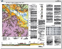
By Amy K. Gilmer and C. R. Berquist, Jr., color 1:24,000-scale geologic map, 2015, only available online. This quadrangle is located in the Coastal Plain physiographic province, along the Pamunkey River in New Kent and King William counties. The quadrangle contains Pleistocene terraces and underlying marine and nearshore facies of older Tertiary to Eocene stratigraphic units. The Providence Forge fault is mapped on the quadrangle. The map also includes a cross-section and chemistry data for the mapped units. Online only.
|
|