
|
Your Price: $0.00
Model
Number: 2632
|
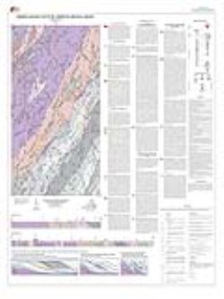
by M.W. Carter, 40- x 46-inch color 1:24,000-scale geologic map, 2008. This map of the Amherst 7.5-minute quadrangle in Amherst County, Virginia shows the distribution of Late Proterozoic to Paleozoic-age metasedimentary, metavolcanic, and metaplutonic rocks, and Middle Proterozoic basement rocks in map and cross-section. Detailed descriptions of each map unit are included. Structural data and mineral resource locations are shown on the map. Online only.
|
|