|


 Your Price: $0.00 Your Price: $0.00
 Model
Number: 1252 Model
Number: 1252


|
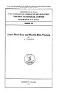
by A.S. Furcron, 6 x 9-inch soft-cover book, 124 pages, 12 figures, 6 tables, 15 plates including Plate 1 – Geologic Map of the James River Iron and Marble Belt, scale 1:125,000, 28 x 12.5–inch color map, Plate 13 – Map of Mines, Prospects, Quarries, Kilns, and Furnaces along the James River northeast of Lynchburg, scale 1 inch ~ 3.3 miles, 6.5 x 16-inch black and white map, 1935. This report describes the distribution and character of rocks of the James River Iron District between Lynchburg and Howardsville, including parts of Albemarle, Amherst, Appomattox, Buckingham, Campbell, and Nelson counties. Large deposits of limestone, marble, and iron are most important. Out-of-print.
|
|