|


 In Stock In Stock
 Your Price: $6.00 Your Price: $6.00
 Model
Number: 1220 Model
Number: 1220
 

|
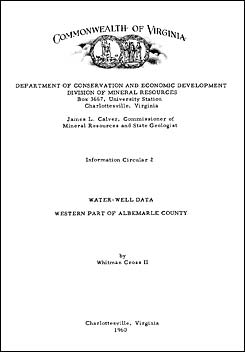
by W. Cross II, 16 pages, 1 plate, 3 tables, 1960. This groundwater report is a data compilation of approximately 300 wells drilled in the western half of Albemarle County, Virginia. The area of study is bounded on the north by Greene County, on the east approximately by US Route 29, on the south by Nelson County, and on the west by Augusta and Rockingham counties along the crest of the Blue Ridge. Data collected for the Virginia Division of Mineral Resources between June 1958 and March 1959 includes reported yield, depth, static level, and topographic location of these drilled wells. Well cuttings are not included in this report, but are available at the Virginia Division of Mineral Resources to landowners, drillers, and geologists.
|
|