|


 In Stock In Stock
 Your Price: $9.00 Your Price: $9.00
 Model
Number: 1103 Model
Number: 1103
 

|
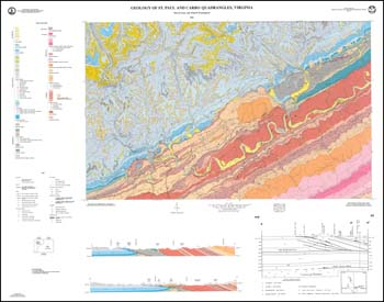
by N.H. Evans and K.W. Troensegaard, folded 39 x 48.5-inch color 1:24,000-scale geologic map and explanation on separate sheet, 1991. Geologic map and text describe the stratigraphy, structure and economic geology of the St. Paul and Carbo 7.5-minute quadrangles in Dickenson, Russell, and Wise counties. Paleozoic-age sedimentary rocks of the Appalachian Plateaus and Valley and Ridge provinces and recent alluvium are delineated with cross-section and detailed stratigraphic column. Brief discussion of coal and natural gas resources. Active and inactive mine adits, gas and oil test wells, and coal outcrop locations are plotted. Repository sample locations for coal are depicted.
|
|