Sign In
Logout
Account
Cart
SEARCH
Help?
Why do we use cookies?
Privacy Policy/Disclaimer
Home
Product Categories
Educational Materials
Fact Sheets
Geologic Publications
Topographic Maps
Virginia Minerals
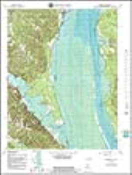
Widewater, VA-MD Topographic Map (1:24,000)
In Stock
Your Price:
$8.00
Model Number:
796
USGS 7.5' paper topographic map for Widewater, VA-MD (approximate size: 20 x 27 inches) - Dates: Original 1966, Photorevised 1978, Bathymetry added 1982
Customers who bought this also bought
Bulletin 083: Geologic Studies, Coastal Plain of Virginia
Publication 152: Early Eocene Vertebrates and Plants from the Fisher/Sullivan Site (Nanjemoy Formation) Stafford County, Virginia
 Widewater, VA-MD Topographic Map (1:24,000)
 In StockYour Price: $8.00
Model
Number: 796
In StockYour Price: $8.00
Model
Number: 796