|


 In Stock In Stock
 Your Price: $6.00 Your Price: $6.00
 Model
Number: 1001 Model
Number: 1001
 

|
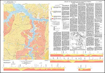
by W.J. Barker and E.D. Bjorken, geologic map with text, scale 1:24,000, 1978. This map shows the surficial deposits of the Norfolk South 7.5-minute quadrangle and includes a discussion of the morphology, stratigraphy, structure, and the factors affecting land modification in the area. The Norfolk South quadrangle lies entirely within the Virginia Coastal Plain province and includes portions of the cities of Norfolk, Portsmouth, and Chesapeake. The geologic formations mapped in the area include Pliocene sediments, Pleistocene sands, and recent alluvial sediments. Much of the area was mapped using borehole and hand-auger data, locations of which are plotted on the map. Abandoned sand quarries and the general load bearing capacity of the land are also shown on the map. Cross-sections are included.
|
|