HyperLink
Sign In Sign In Sign Out Logout Account Account Cart Cart
 
  SEARCH    Help?         Why do we use cookies?       Privacy Policy/Disclaimer
    Home

SURVEY

Product Categories


Sales & Returns Policy


Spacer Image

Spacer Image
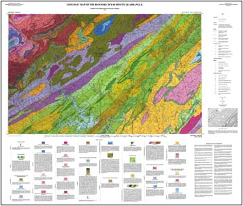
Spacer ImagePublication 148: Geologic Map of the Roanoke 30 X 60-minute Quadrangle
Spacer Image Spacer Image
Spacer ImageIn Stock
Spacer ImageYour Price: $9.00
Spacer ImageModel Number: 1298

Spacer Image
Spacer Image
by W.S. Henika, folded 43 x 37-inch color 1:100,000-scale map, 1997. Shows the regional geology of the Valley and Ridge, Blue Ridge, and Piedmont provinces and the Triassic Danville basin. This area includes most of Smith Mountain Lake and a section of the Blue Ridge Parkway. There are general descriptions of the rocks that underlie the area. A diagram depicts the general structural blocks of the map area. List of references used in compilation of the map included.
 Customers who bought this also bought
  Geologic Map Of Virginia (1:500,000)
  Publication 034: Geology of the Roanoke and Stewartsville Quadrangles, Virginia
  Peaks of Otter, VA Topographic Map (1:24,000)
  Bulletin 074: Geology and Mineral Resources of the Lynchburg Quadrangle, Virginia
  Report of Investigations 037: Geology of the Salem Quadrangle, Virginia
 
Spacer Image