
|
Your Price: $0.00
Model
Number: 3071
|
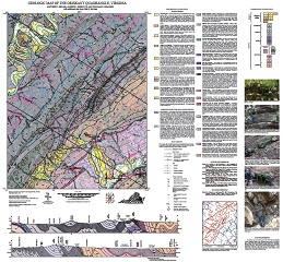
By M.J. Heller, A.J. Biebuyck, and W.R. Swanger, 36 x 38-inch color 1:24,000-scale geologic map, 2017. This map of the Oriskany 7.5-minute quadrangle in Botetourt and Craig counties, Virginia shows the distribution of Paleozoic-age sedimentary rocks in map and cross-section. Surficial deposits including alluvium. colluvium and river terraces are also shown. Five figures highlight aspects of the local geology. Online only.
|
|