|


 Your Price: $0.00 Your Price: $0.00
 Model
Number: 1237 Model
Number: 1237


|
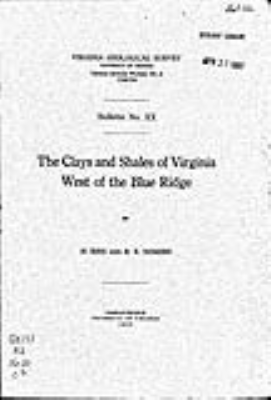
by H. Ries and R. E. Somers, 6.5 x 10 inches soft-cover book, 118 pages, 8 figures, 14 plates including folded clay localities map, scale 1:750,000, 36 x 23 inches, 1920. This report is the third in a series of reports on the distribution of the clay and shale-bearing formations of Virginia by major provinces. Bulletin 002 describes the clay resources for the Coastal Plain (Tidewater) Province, and Bulletin 013 describes the clay resources for the Piedmont Plateau Province. The present report treating the clays and shales of the Appalachian Mountains province completes the survey of the State in this project. The region covered by the present report is shown to contain vast clay and shale resources desirable for the manufacture of certain clay products for which there is a large and increasing demand.
Out-of-print.
|
|