|


 In Stock In Stock
 Your Price: $6.00 Your Price: $6.00
 Model
Number: 1184 Model
Number: 1184
 

|
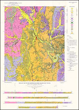
by J.S. Conley and E.C. Toewe, 44 pages, map in color, 14 figures, 1 table, 1968. Map shows the geology and mineral resources of the Martinsville West 7.5-minute quadrangle. Martinsville West is located in west-central Henry County in the southwestern Piedmont of Virginia. The bedrock in this quadrangle consists of Precambrian or Cambrian rocks of the inner Piedmont belt, the Late Paleozoic Leatherwood granite and Rich Acres Norite, and Late Triassic diabase dikes. The major structure in the area is the nose and east limb of a northeastward plunging syncline. Crushed stone, sand and gravel, mica and magnetite have been produced in this quadrangle. Map includes cross-sections.
|
|
|
|
Customers who bought this also bought
|
Report of Investigations 026: Geology of the Bassett quadrangle, Virginia
|
Publication 137: Geology and Mineral Resources of Henry County and the City of Martinsville, Virginia
|
Report of Investigations 033: Geology of the Snow Creek, Martinsville East, Price, and Spray (Northwest Eden) Quadrangles, Virginia
|
Report of Investigations 010: Geology of the Dillwyn Quadrangle, Virginia
|
Publication 002: Geology of the Blairs, Mount Hermon, Danville, and Ringold Quadrangles, Virginia
|
|
|
|