|


 In Stock In Stock
 Your Price: $6.00 Your Price: $6.00
 Model
Number: 1021 Model
Number: 1021
 

|
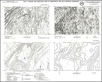
by J.D. Marr, Jr., S.S. Johnson, R.S. Young, R.S. Good, and P.C. Sweet, 83 pages, 6 plates (in pocket), field trip guide and road log, 1981. Based on a mineral resources development study completed in March 1977, the Piedmont Planning District Commission recognized the need to further evaluate potential mineral resources through detailed geologic mapping. Under contract with the Commission, the Division of Mineral Resources performed a geologic survey of the Andersonville and Willis Mountain quadrangles with an emphasis on potential economic mineral studies.
The volume includes summaries of these geologic map reports, the results of three other geologic studies carried out under the same program, and a field trip guide and road log. The new results presented include those of: regional geophysical surveys (aeromagnetic, aeroradiometric, and ground-base gravity maps); reconnaissance geochemistry of stream sediments and selected water samples (computer-derived maps of base-metal and mineral concentrations); and geophysical data for 17 massive sulfide zones (location and electromagnetic anomaly map) and detailed geologic, geophysical and geochemical surveys (surface geologic maps, drill-hole logs and sections, electromagnetic and self-potential maps, and soil geochemistry maps).
|
|