
|
In Stock
Your Price: $6.00
Model
Number: 1174

|
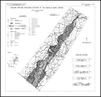
by C.T. Meyertons, 6 x 9-inch soft-cover book, 65 pages, 1 plate divided into 2 sections, folded 22 x 22-inch black and white 1:62,500-scale geologic map, 18 figures, 13 tables, 1963. Report of the stratigraphy, structure and geologic origin of the Danville Basin in Pittsylvania and Campbell counties. Triassic-age sedimentary and igneous rocks, post-Triassic surfiical deposits and Recent deposits are delineated on geologic map and cross-sections. Three new formations, the Leakesville, Dry Fork, and the Cedar Forest are proposed in this report. Contained in these formations are fanglomerates, conglomerates, breccias, graywackes, arkosic sandstones, siltstones, black shales, and red beds. Rocks suitable for brick and ceramic-ware manufacture and for the production of lightweight aggregate are described. Map depicts location of active, inactive quarries and potential prospects for crushed-stone operations. Appendix included type sections and several other measured sections for the Leakesville, Dry Fork and Cedar Forest (fiteen total).
|
|