
|
In Stock
Your Price: $6.00
Model
Number: 1005

|
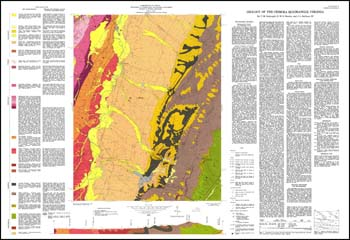
T.M. Gathright, II, W.S. Henika, J.L. Sullivan, III, folded 42.5 x 29-inch color 1:24,000-scale geologic map, 1978. Bedrock geologic map with surficial deposits for Crimora 7.5-minute quadrangle (portions of Albemarle, Augusta, and Rockingham counties) with one cross-section. Explanation has unit characteristics and geologic or economic factors affecting land modification. Text describes stratigraphy and includes two diagrams illustrating the morphology and regional lithofacies of the carbonate units. The brief mineral resource section mentions the Shenandoah Sand and Gravel, Inc and the Crimora manganese mine and suggests carbonate sources for crushed stone and lime. Locations of active and abandoned quarries, manganese prospects, samples in rock and fossil repositories and reference localities are described.
|
|