
|
In Stock
Your Price: $6.00
Model
Number: 996

|
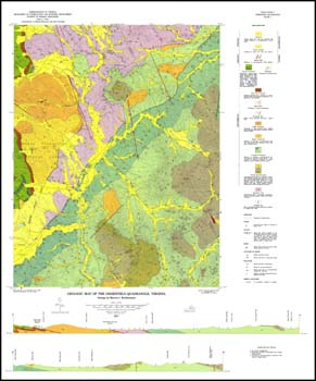
M.J. Bartholomew, 8.5 x 11-inch soft cover book, 43 pages, two plates include two folded 27 x 33-inch color 1:24,000-scale geologic maps, 37 figures, five tables, 1977. Text contains discussion of geologic structures, stratigraphy, metamorphism, and economic geology of the Greenfield and Sherando 7.5-minute quadrangles (portions of Albemarle and Nelson counties). Mineral resource section indicates clay, sand, and gravel; iron and manganese; and copper. Glossary and road log to exposures of important geologic features in the quadrangles as well. Bedrock and surficial geologic map with cross-sections. Rock repository sample locations, mines and prospects for iron, manganese and copper are plotted.
|
|