|


 In Stock In Stock
 Your Price: $9.50 Your Price: $9.50
 Model
Number: 1266 Model
Number: 1266
 

|
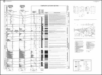
by J.K. Filer, J.M. Dennison and A.G. Warne, 2 34 x 44-inch sheets with 9 illustrations and text, 1996. Publication consists of a composite Devonian section along US Highway Alternate 58/23 between Big Stone Gap and Norton in Wise County with two nearby supplemental sections measured as well. Correlation with the subsurface based on lithologic descriptions and gamma ray logs from nearby gas wells. Plate 1 contains the text, general and detail location maps, stratigraphic nomenclature chart and outcrop maps of exposures used for the composite section. Plate 2 consists of the actual composite section, gamma ray logs and a cross-section of the area.
|
|